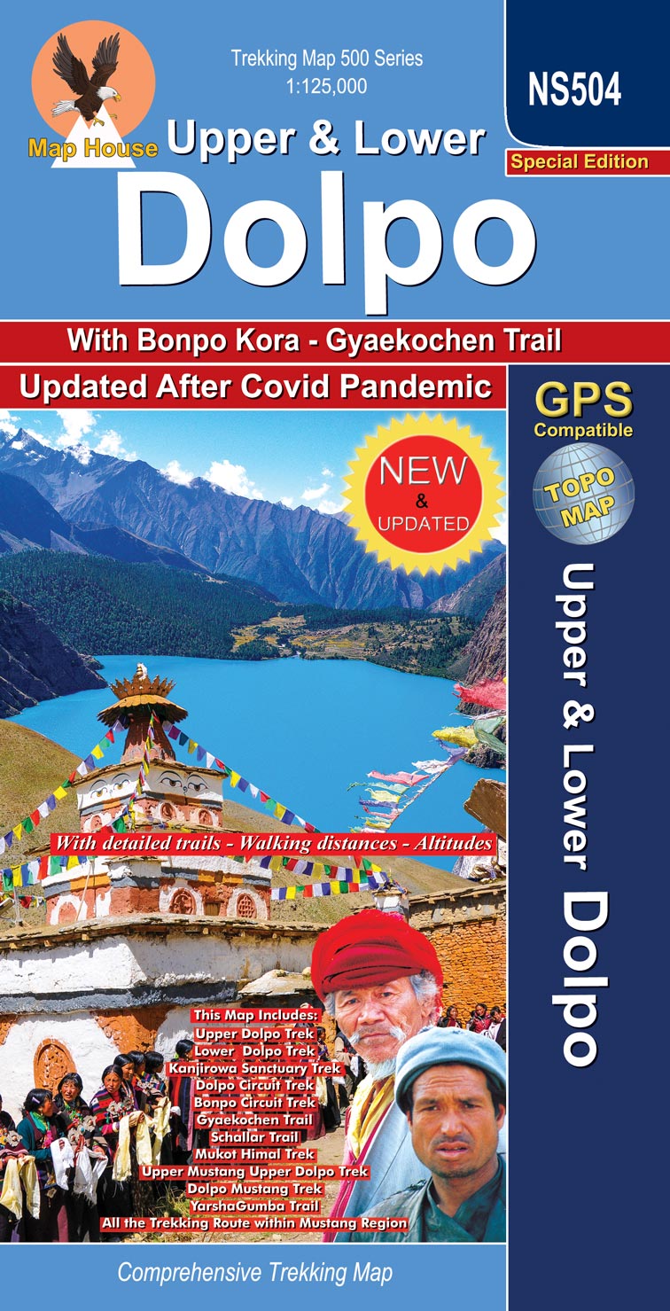
Upper & Lower Dolpo
Edition: June 2024
ISBN: 9789937783224
Title:UPPER & LOWER DOLPO
Bonpo Kora & Gyakochen Trek
Area: Dolpo (Dolpa) Region
Scale: 1:125, 000
Longitude: 82° 00′ – 83° 12′
Latitude: 28° 51′ – 29° 37′
Altitude Range: 2700m – 5400m
Difficulty: Very Strenous
Days: 20 – 22
Organization: Organized
Route: JOMOSOM, SANGDAK, NIWAR PASS, CHHARKA BHOT, TINGE GAON, SHIMENGAON, SALDANG, SHEY GOMPA, PHOKSUNDO, PHOKSUMDO LAKE, JUPHAL, DUNAI, LINGDO, LAISICAP, NAWARPANI, DHO, NUMLA, BAGALA PASS, RINGMO

7 comments on “Upper & Lower Dolpo”
oliver August 6, 2013 at 10:02 am
very good
Michael Bligh February 3, 2013 at 2:35 am
I would like to purchase the most detailed and accurate map you have of Lower & Upper Dolpa
Alex Statiev December 27, 2012 at 10:43 pm
Hello,
I’d like to get two maps: 1. Upper and Lower Dolpo; 2. Dhaulagiri circuit. Can you please let me know how I can order these two maps?
Thank you
silvano January 24, 2012 at 10:04 pm
Is the digital Dolpa map available? If yes what is its cost?
Best Regards
Silvano Lonardi
Verona Italy
Glenn Ingram December 4, 2011 at 10:15 pm
I am interested in your map of Upper & Lower Dolpa – the Dolpa Experience Circuit. What would be the cost and how can I get the money to you if this can be mailed to me. Thank you
Bohdan Linda June 25, 2011 at 5:33 pm
How can I get map of Lower Dolpo, please? Is it possible to get this map by e-mail?
With kind regards
Bohdan Linda
Richard Ottvall May 16, 2011 at 9:36 pm
Title:UPPER & LOWER DOLPO
Subtitle: DOLPA EXPERIENCE CIRCUIT
Number of maps: 2